
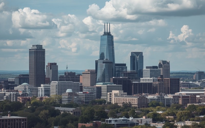
What is the elevation of Kansas City, Missouri? The city has an average elevation of approximately 910 feet (277 meters) above sea level. However, Kansas City’s terrain is far from uniform.
The city stretches across the Missouri River Valley and surrounding higher ground, creating a mix of rolling hills, valleys, flat areas and elevated neighborhoods. This varied landscape influences everything from local weather patterns and outdoor activities to road design and urban development.
For perspective, here’s how Kansas City’s elevation compares with several major U.S. cities:
| City | Approx. Elevation |
| Kansas City, Missouri | 910 feet |
| Denver, Colorado | 5,280 feet |
| Phoenix, Arizona | 1,086 feet |
| Miami, Florida | 6 feet |
Kansas City sits well above sea level but far below high-elevation cities such as Denver. Its moderate elevation means visitors generally don’t need to worry about altitude-related problems, while the city’s hills and changing terrain give many neighborhoods their distinctive character.
Why Does Kansas City Have Such a Unique Elevation Profile?
Kansas City’s landscape has been shaped by the Missouri River and the geological processes that formed the surrounding region. The result is a city with considerable variation in elevation over relatively short distances.
Some areas feature steep slopes and bluffs, while others sit on flatter land closer to the river.
Bluffs and Steep Slopes
Areas around North Kansas City and Independence include elevated terrain and slopes that contribute to the region’s distinctive landscape.
Missouri River Floodplain
Lower, flatter areas near the Missouri River historically provided favorable conditions for transportation, commerce and industrial development.
Higher Ground and Plateaus
Communities farther from the river, including parts of Overland Park and Lee’s Summit, occupy higher terrain.
This explains why driving or walking through Kansas City can feel very different from one neighborhood to another. Some areas feature noticeable hills and elevation changes, while others are relatively flat.
How Kansas City Elevation Impacts Climate and Weather
Elevation is one factor that contributes to Kansas City’s local environment, but it is not the only reason the city’s weather can change so quickly.
Temperature and Elevation
At roughly 910 feet above sea level, Kansas City is at a moderate elevation. Its climate is primarily influenced by its inland location, seasonal weather systems and proximity to the central United States.
The city experiences hot summers and cold winters, with temperatures capable of changing significantly from one day to the next.
Rapid Weather Changes
Kansas City can experience dramatic shifts in weather because different air masses frequently move through the region.
Cold air from the north can meet warmer, moisture-rich air moving north from the Gulf of Mexico. These interactions can contribute to thunderstorms, heavy precipitation and sharp temperature changes.
Severe Storms
Kansas City lies within a part of the central United States that experiences severe thunderstorms and tornadoes. Its location, rather than elevation alone, is an important factor in understanding the area’s storm potential.
The combination of warm, humid air and changing weather systems can create favorable conditions for severe weather during parts of the year.
Kansas City Zip Codes and Elevation
Kansas City’s varied terrain means elevation can differ considerably between neighborhoods.
Here’s a simplified look at several areas:
| Neighborhood/Area | ZIP Code | Approx. Elevation | General Terrain |
| Downtown Kansas City | 64105 | 850 feet | Relatively flat |
| Country Club Plaza | 64112 | 950 feet | Rolling and hilly |
| Overland Park | 66212 | 1,050 feet | Higher suburban terrain |
| Independence | 64055 | 800 feet | Rolling and sloping |
It’s important to remember that elevation can vary within the same ZIP code, so these figures should be treated as general estimates rather than exact measurements for every address.
Kansas City also spans two states. ZIP codes beginning with 641 are generally associated with Kansas City, Missouri, while 661 ZIP codes are associated with Kansas City, Kansas.
How Elevation Has Influenced Kansas City’s Development
Kansas City’s elevation and relationship with the Missouri River have played an important role in the city’s development.
River Commerce
Lower-lying areas near the Missouri River became important transportation and commercial locations. Access to waterways and rail connections helped Kansas City develop into a major regional trade center.
Hills and Neighborhood Design
The city’s rolling terrain also influenced residential development and road layouts. Some neighborhoods feature winding streets that follow the natural landscape rather than a completely flat grid.
The Country Club Plaza area is a notable example of Kansas City’s distinctive urban character, combining planned development with the region’s natural terrain.
Industrial Development
Flatter areas have historically been useful for transportation infrastructure, rail facilities, warehouses and industrial development because large, level sites are generally easier to build on.
Today, Kansas City’s varied elevation continues to influence where residential, commercial and industrial developments are located.
Outdoor Adventures and Kansas City’s Changing Elevation
Kansas City’s hills and valleys provide plenty of opportunities for outdoor recreation.
Instead of having a completely flat landscape, the metropolitan area offers rolling terrain that can make hiking and cycling more challenging.
George Owens Nature Park
George Owens Nature Park provides trails through a natural setting in Independence. Its changing terrain gives visitors a chance to experience the area’s natural landscape.
Lindbergh Park
Lindbergh Park and surrounding trails offer recreational opportunities in a landscape characterized by rolling terrain.
Wyandotte County Lake Park
Wyandotte County Lake Park is known for its outdoor recreation, trails and scenic surroundings. Its elevated areas provide views across parts of the surrounding landscape.
For hikers and cyclists, Kansas City’s elevation changes can make relatively short routes feel more demanding than the distance alone suggests.
Frequently Asked Questions
What Is the Highest Elevation Point in Kansas City?
The Kansas City metropolitan area contains locations that rise above 1,000 feet, although the exact highest point depends on whether you’re referring to Kansas City proper or the broader metropolitan region.
Because elevation varies across the area, it is best to use a topographic map or official geographic data when looking for the precise highest point.
How Does Kansas City Elevation Compare With Other Midwest Cities?
Kansas City’s approximately 910-foot elevation puts it within the moderate range for a major Midwestern city.
For comparison, St. Louis sits at a lower elevation, while other cities in the broader Midwest can have significantly different elevations depending on their geography.
Can Kansas City Elevation Data Be Useful for Hiking?
Yes. Elevation data is particularly useful when planning hikes, bike rides and other outdoor activities.
Elevation gain can tell you much more about the difficulty of a route than distance alone. A short trail with several steep climbs can be more challenging than a longer route across relatively flat terrain.
Does Elevation Affect Kansas City Property Values?
Elevation can influence the characteristics of a property, particularly when it provides views, drainage advantages or a distinctive setting. However, it would be misleading to say that elevation alone determines property values.
Factors such as neighborhood, school access, home size, condition, amenities, location and market demand generally have a much larger influence on real estate prices.
Conclusion
Kansas City’s approximately 910-foot elevation is only one part of what makes the city’s geography interesting. The combination of the Missouri River Valley, rolling hills, higher neighborhoods and flatter areas creates a landscape that changes noticeably across the metropolitan region.
Elevation also helps explain differences in terrain, outdoor recreation and urban development. However, Kansas City’s weather is shaped by much more than its height above sea level, including its central location and the movement of different air masses across the region.
Whether you’re researching Kansas City for a move, planning an outdoor trip or simply curious about the city’s geography, understanding its elevation provides useful context for exploring the area.